
GCOR 2026 June 28-July 2
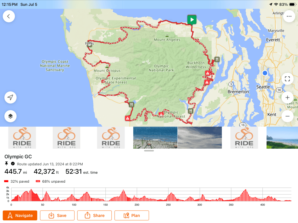
Okay, so what is GCOR anyway. It stands for Grand Circumnavigation of the Olympic Mountains. The brainchild of Thomas Sumter.
From bikepacking.com
“GCOR is a 450-mile gravel circumnavigation of the Olympic Mountain Range in Washington State. The Olympics are a wild and remote region with old-growth rainforests, glacial-cut valleys, wild rivers, forgotten roads, and never-ending climbs. The race follows the Olympic GC bikepacking route, which uses an eclectic mix of gravel roads, forest roads, and singletrack to fully loop around the Olympic Mountains and provide a bucket-list experience for those who take it on.”
This was my year to finally give GCOR a try. My friends Keri, Aune, and Christian did this race in 2023 but I couldn’t join them because I was riding the Great Divide Mountain Bike Route. Now that I had one solo bike endurance race under my belt (XWA 2026) I knew I had the courage to tackle another one. I was feeling very excited leading up to the race. The route was for the most part a big unknown for me. I just wanted to see what I could do on my own. A challenging part of this for me was camping out in the wilderness alone. The night before the race start the group of racers plus Thomas got together at a restaurant to go over things. NbThere was talk of a lot of bear scat on one of the mountains that one of the riders had seen recently. And just like that my nerves kicked in and I thought maybe I should reconsider and not go. But of course I had to get out there and try. I had all my safety gear- bear spray, a big knife, an air horn and an InReach gps tracker.
My goals and plan.
Before I started the ride my finish time goal was to be done by Friday, July 3rd. If I could pull off some longer days I might be able to get finished by Thursday. So riding each day as far as I could in daylight was my plan. That meant that I was pedaling by 5 am and planned to quit by 9 or 9:30 p.m..
Day 1
There were 14 riders ready to go at 6:00 the next morning. There are three GCOR routes to choose from. I did the regular route along with a few others. A few people did the GCORX – more climbing and craziness. And a few riders did the GCOR lite route.
The day started out all sunshine and daisies. The first big climb of this ride is Bon Jon Pass. This climb is also on the XWA route, usually coming on day 2. So I have done it four times already. I was curious to see if it felt easier on fresh legs and I’m happy to report that it was. It’s basically 30 miles up, up, up.
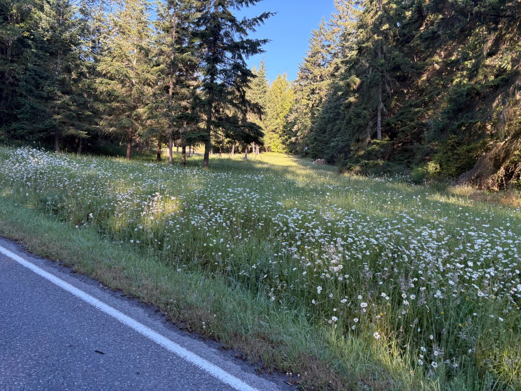
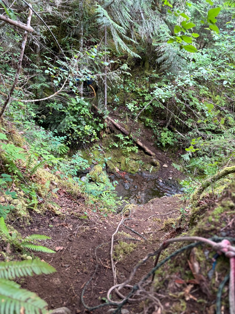
I saw Thomas and his wife Jen a couple of times up the mountain, cheering riders on from their car. That was a nice boost. Then it was down the other side and on to the next mountain. I was really curious to get to the first technical obstacle, the most talked about thing of GCOR, the crazy ravine crossing with ropes. I tried researching this as much as I could to figure out how to approach it. What I wasn’t expecting was the long hike-a-bike leading up to it. At least a mile through the forest heaving the loaded bike over tree after downed tree. When I finally reached the ravine there was another rider there figuring out how to get up the other side. I was so happy to see him, Pooyan T. First I had to get to the bottom of the ravine without killing myself or breaking my bike. We worked together to haul the bikes up clinging on to the two ropes that are there tied to a tree at the top. After we got ourselves up there was more obnoxious hike a bike and then Pooyan rode off and I was alone again.
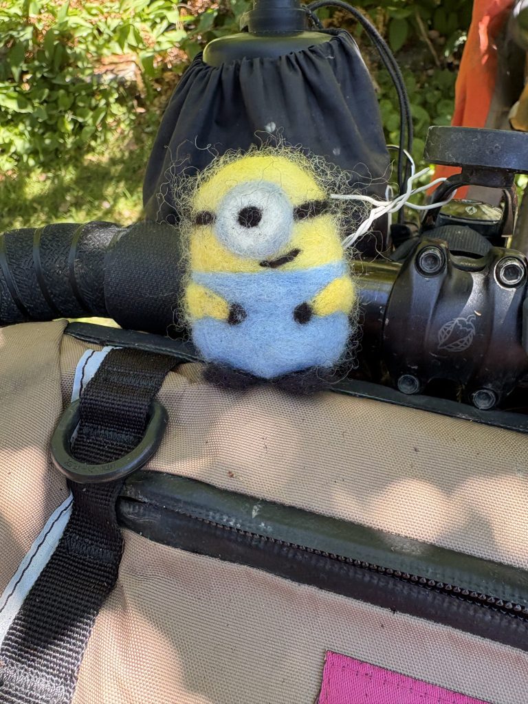
Actually I wasn’t totally alone, I had Dave with me. A little Minion my sister in law felted for me a few years ago. Dave is an awesome travel companion. He never gets scared, never complains, never gets cold, and conjures up the best camping spots. He sits on my handlebars and loves going downhill fast. If the downhill is smooth enough he loves to pretend he’s an Olympic Luge competitor and lies flat on his back. I sure was glad to have Dave along with me. I didn’t complain to him either(very much).
This first big ravine crossing was at mile 70. There was another one coming up around mile 90 that I really wanted to get past on the first day. Even though the day turned cloudy there was actually a view at one point
More winding around the forest up and down, along the Duckabush Collin’s Campground Road and eventually I ended up at the second obstacle of the day. Crossing Fulton Creek, only the bridge was gone. This meant crawling down another steep and dicey slope to the rocky river bottom and up the other side. I had to scout around a bit to figure out the best way. At this point it was about 8:30 at night, 90 miles in and even though it wasn’t raining everything was soaking wet with dew.
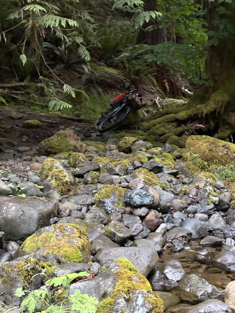
While there was not a lot of water in the river I managed to get my feet soaked where I had to cross to get to the other side. After getting up the other side of the ravine it was Dave’s job to find us a good, safe camp spot. We pushed and rode a couple more miles through wet brush and found a suitable spot for the night. I got set up fairly quickly and was asleep by 10:30, alarm set for 4:30.
Sun, 6/28/2026 GCOR 2026 day 1 – hrs. 12:38:36/ 92.35 miles/ 12,710ft climbed
Day 2, Monday June 29
4:30 alarm went off, birds chirping and already turning light outside. Got everything packed up, put on my wet shoes and socks and shoved an energy bar into my mouth. The path continued to be very overgrown. Everything was still extremely wet with dew, it might as well have been raining I was so wet. It was like the branches of the shrubs were reaching out covering me in slobbery kisses. A few miles of this and we started a descent. I put on my rain jacket and rain pants to keep the chill of the wind out. I took off my riding gloves because they were soaked and it made my hands colder to leave them on. Sadly I forgot my Goretex mitts at home.
After awhile I came to a path where there were a ridiculous number of tank traps ( steep mounds of dirt and rocks) and downed trees to crawl and haul over.
Finally I came to the first resupply point, a convenience store at Lake Cushman where I met Pooyan again. I plugged some electronics in to recharge since the store kindly provided a power strip for us to do so. Then I started shopping, trying to get healthy and energizing food. I tossed a couple of fruit turnovers into my pile for breakfast. I also ordered a giant turkey and cheese sandwich to eat half now and half later. When I went to pay for all the goodies I noticed a box of latex gloves on the counter that the guy wore when he made the sandwiches. I asked if I could buy a pair ( to keep hands dry and wind off) and they guy said no. Okay, that’s kind of strange but I didn’t push it. Then he picked up the fruit turnovers, appeared to scan them and then said “these are no good”. I was puzzled, like they didn’t have a price or they were out of date? He said it again, they’re no good and I asked “they don’t taste good?”. “No, they don’t” he said, so I put them back. But there were a lot of the shelf. Why do they have them if they don’t think they’re any good?!?
I went back outside to the picnic table where Pooyan was sitting and savagely gobbled half the sandwich while guzzling a coke. Then after rearranging the rest of my food into respective now and later bags and a quick call home I was off again.
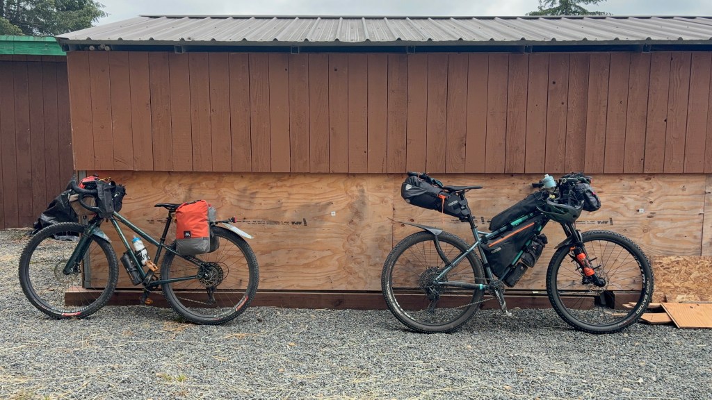
The route rambled around through some farm land and back into the forest. I wanted to sleep at a lower elevation so that I would be warmer and not in a cloud at the top of a mountain. I didn’t have it in me to crawl over the next mountain so I decided on an earlier stop and less miles so I could have the energy for the next day. At around 7 p.m. Dave found a great campsite near a dry river. Hidden from view of the road and feeling safe I ate the other half of my sandwich and was lying down by 8 p.m., listening to a robin chirping me to sleep.
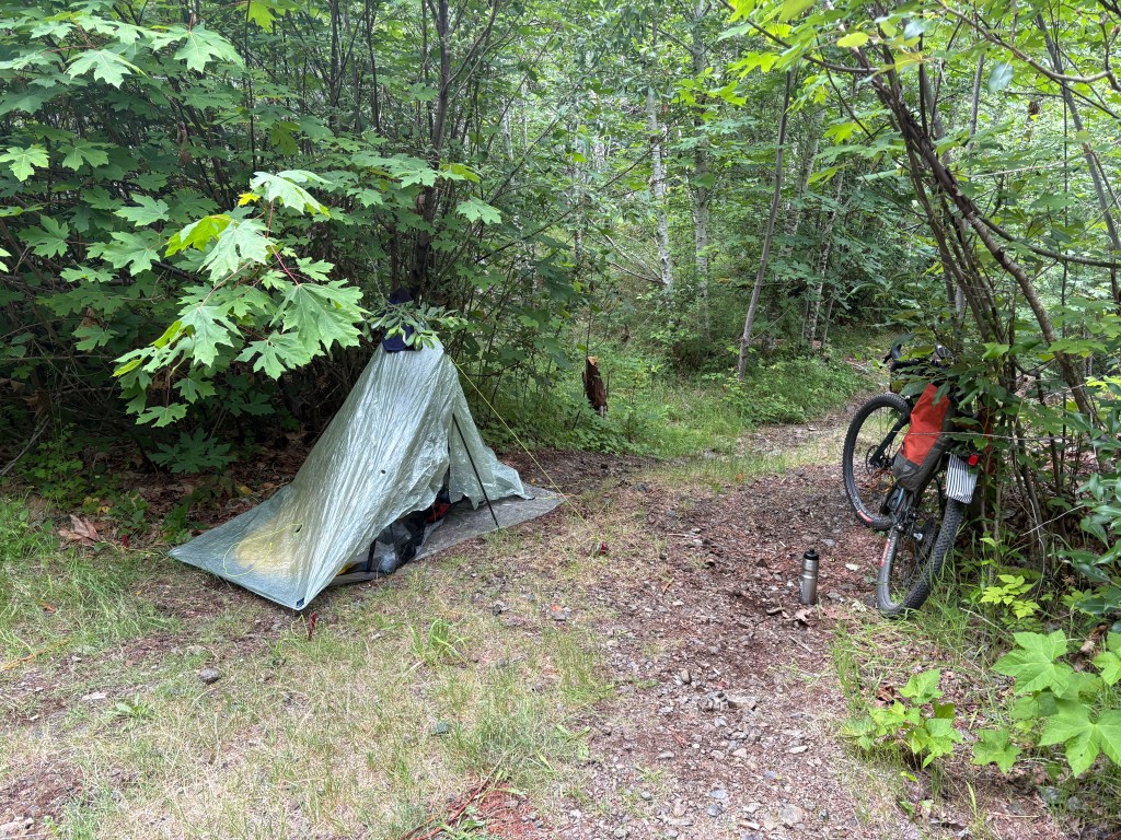
Mon, 6/29/2026 GCOR 2026 day 2 – hrs. 10:25:42/ 79.18 mi/ 6,476 ft climbed
Day 3, Tuesday June 30
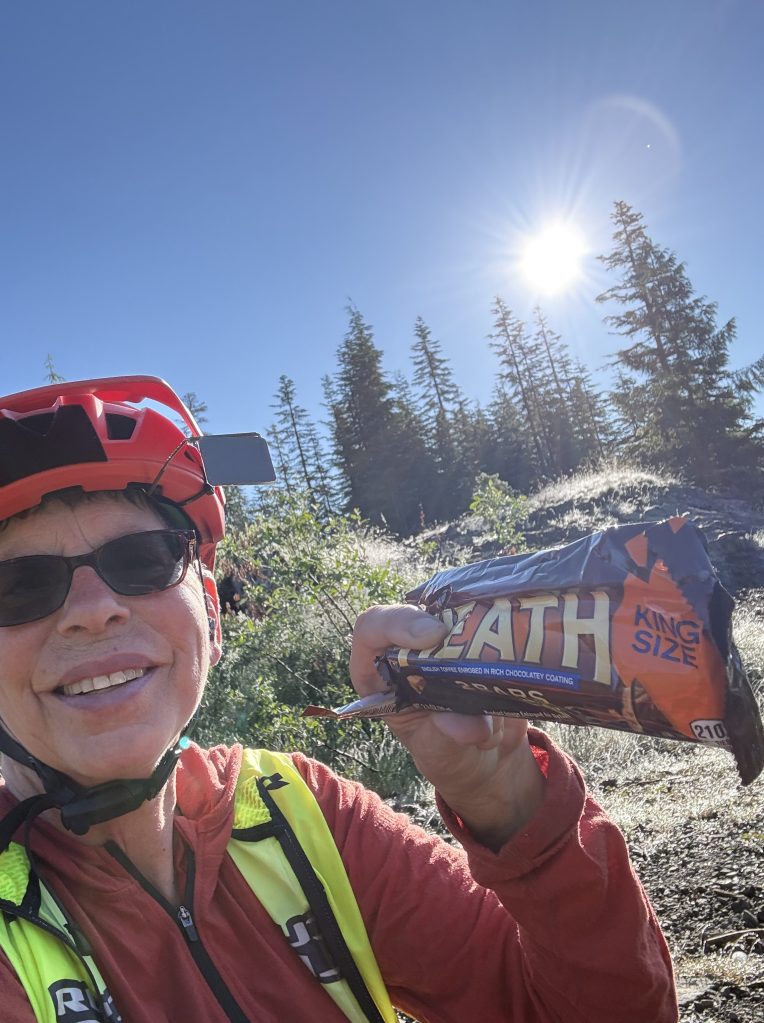
The morning was foggy, no surprise. I started up the mountain and found a great place to filter some water. As I reached the top of the mountain it got sunnier. I was rising above the clouds! At the top I decided I deserved a proper break, so I got out a Heath candy bar and decided to have some trail coffee. Now mind you, I don’t bring a stove when I’m racing. I do take Starbucks instant coffee Via packs and I have been known to just pour the powder straight into my mouth and follow with water. When I do this I’m only looking for the caffeine effect, not a pleasurable experience. But for this sunshine break I wanted to drink my coffee. I didn’t have a cup though so I thought about how to go about this. I didn’t want to contaminate my two water bottles with anything. I had a plastic sandwich bag! So I poured the coffee powder in, added water and voila, an iced coffee (stream water is cold!). I loved my little coffee break, it really lifted my spirits.
As I started down the other side of the mountain I encountered a bird that was smaller than turkey, but resembled a turkey with its fluffed up tail feathers. I figured it must be a grouse and I ended up seeing many over the course of my journey. The next thing I came upon was the biggest and freshest pile of bear scat I have ever seen. I thought about stopping to photograph the evidence but since it was really fresh I thought it best to just get out of the area. I rolled around a curve and up ahead on the side of the road was a big, dark block of something- tree stump or bear? ( a game often played). I let out a big holler and the bear lifted up his head and bolted down off the road into the forest. I felt satisfied that this one at least seemed scared of me. I did shout a whole lot going down the rest of the mountain. No picture of the bear either. It all happened too quickly.
About 90 minutes later I came to the third obstacle/caution mark on the map. The one that just says “Washout-road is damaged. Foot trail exists”. What was straight ahead of me was first a tank trap, the huge mound of dirt and rocks so one doesn’t fall into anything unwarned. Beyond the tank trap was a huge chasm. A landslide on either side and a rocky river bed far below and of course the road continuing on the other side. Very scary looking. I looked on either side of the tank trap and didn’t see any obvious trail. I mean why would there be a nicely marked trail, maybe with a handrail? Who goes back into such places?! Okay, time to sleuth again. Where did it look like the other four people doing this regular route might have stepped before me. Clues like trampled grass and ferns, maybe a broken branch. I scouted without the bike first because this was not going to be an easy bushwhack. I found the way down and the river was thankfully mostly dry. Now, where to go up. I could easily see where I had to get to but seeing how to get from here to there was not at all obvious. I went upriver a couple hundred feet and saw a way up that didn’t look too hard. But that would leave me at the top with a very thick jungle to work through to get back to the road. I went back closer to where I came down and where the road would be close by above me. Not a lot of evidence of previous travelers but I decided to go this way anyhow. What an upper body workout! Dragging and heaving my bike up, through, and around very tall sword ferns. Past sticks and logs that wanted to grab my bike any way they could. I am so surprised I didn’t rip my derailleur off in this section
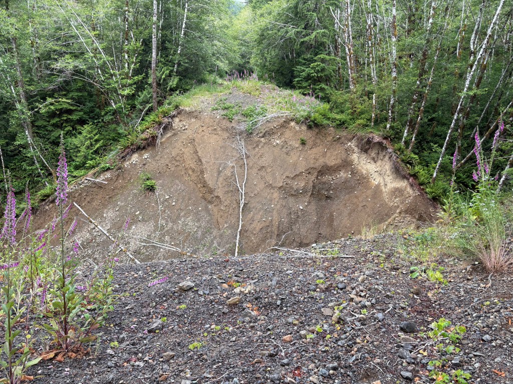
What kept running through my mind in these obstacle sections was who is more ridiculous- Thomas for including something like this, or me for attempting it?! I think the correct answer is- me!! Alright, that one conquered and on to the next part. One more obstacle on the map, and I’ll probably get to it this day as well.
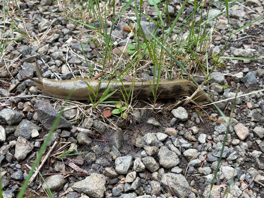
Time for a little nature break from all this excitement. I saw many critters out there, Douglas Squirrels, chipmunks, deer, elk, robins, ravens, Pacific Banana slugs, owls, rabbits, and only the one bear. Much evidence of bears in the form of scat, usually at the tops of the mountains. Lots of avalanche lilies and foxgloves.
I spent much of the ride listening to music. I ride with just one earphone in and I can still hear what’s around me. Near the Lake Wynoochee area I was coming around a corner and thought I heard voices talking but it didn’t sound like my music. Sure enough going the opposite direction were two women, Rachel and Jamie, out for a few days bikepacking in the area. They said they were glad they met one of the GCOR riders and asked my name. Then we parted ways. Funny how the smallest, kind interactions can lift one’s spirits. My spirits were generally good the whole journey but a little boost now and then is always appreciated.
About 10 miles before Amanda Park I reached the last obstacle listed on the map. This one involved a removed bridge that was no longer on the route. This section had a lot of tall grass and various stages of alder saplings to get through. While it wasn’t easy this was the least dangerous obstacle. A marshy stream at the bottom before the push up meant more soaked shoes and socks. Then there was a long stretch of paved road, which is often just as scary as the forest. Dangerous wildlife or crazy car drivers? I’d rather deal with the wildlife.
My goal for the day was to make it to Lake Quinault/Amanda Park where there would be two stores for resupply. Actually I wanted to make it five or so miles past the resupply and just before the next climb. I decided to skip the Amanda Park Mercantile in favor of getting to the North Shore Grocery a few miles north. I thought it would be a full size grocery store but it ended up also being just a convenience store. I stocked up on what I thought I could stomach eating the rest of that day and the next. Then I noticed a small hotel next door to the store. Somehow I felt like I would be cheating if I didn’t camp every night, even though I use hotels on XWA and don’t think twice about it. I called home and was encouraged to go for the motel and get a shower and dry things out. So I rolled over there and went into the office. The parking lot was empty and luckily they had plenty of rooms for the night. I got talking to the woman, Margaret, about the race. She told me that recently some women riding around there had been attacked by a cougar. I told her I had a similar experience and she said, “yes, that’s the one I’m talking about”!!! Amazing that she brought it up. We chatted a little more and then I went to my very clean and spacious room and cleaned up and ate as fast as I could so I could have as much down time as possible.
Tue, 6/30/2026 GCOR 2026 day 3 hrs 9:47:16 /73.53 mi / 6,506 ft climbed
Day 4
On the road the next morning just before 5 and I’m glad I decided to stay at the motel. I didn’t pass any great camping spots before I started up the next big climb. I did however notice some shadowy figures up ahead on the trail. A small herd of elk. They cleared off the road to make room for me to pass through. So thoughtful. My goal for today was Forks. It would mean a 100 mile day but I didn’t want to prolong this experience anymore than I had to. Sometime I’ll have to write another post about why we want to do this stuff and then can’t wait until we finish!
Sometime after the big climb ended I came to a clear cut. Definitely not the first one but this one felt different. It was drier and even sunny. It seemed vast as well. As I started into this area I spotted a brown animal up ahead. I hollered and it noticed, then another one joined it. I couldn’t make out if they were deer or cougars. Just too far away to tell, and they moved out of sight pretty quickly. For the first time this whole trip I felt the fear of a dangerous wildlife encounter. Going back didn’t seem like an option, back to where?!? So I went forward, bear spray in hand, hollering at the top of my lungs continuously, and deployed the air horn a few times. I proceeded without incident but this rattled me for the rest of the day. Bears are one thing, black bears anyway. Cougars are a whole other story.
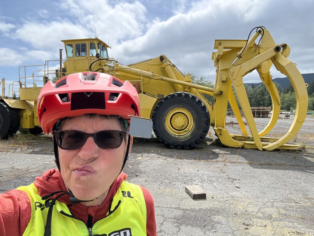
Back to more pavement, a little safer feeling, especially on a low traffic road. The route goes through what looks like an abandoned forestry operations plant. I puzzled at how people can just abandon such things as giant trucks and equipment. More water filtering, another bridge closure, but safe to walk across?
The last section before Forks was a 20 mile segment in the Hoh Rainforest. The atmosphere was sometimes darker in here, the forest was so thick. And mossy. I just wanted this section to go by quickly. I was dreaming of a nice meal and motel room in Forks. Rolling along a relatively nice gravel road and the route turns off onto a decommissioned road, very overgrown. So overgrown it’s impossible to ride. Still feeling scared of wildlife from earlier in the day I imagine a bear appearing suddenly in all the overgrown bushes. For the only time of the whole race I felt annoyed at Thomas (sorry Thomas). We were so close yet so far. This section felt sinister to me, creepy, and I wanted out of there so bad. I didn’t lose it though. I know how to talk my self down, or up, or whatever it takes to make it through. Eventually I reached the pavement and the final push to Forks.
Upon getting to Forks I quickly found out that as it was nearing the 4th of July there were no motel rooms available. Seriously?! That’s okay, they would have been highly priced anyway. I did decide to eat at a nice Mexican restaurant in town where I’ve had good meals before. I ordered a plate of rice and beans, and a bean and cheese burrito, plus an orange Jarrito to drink. I shoveled the food in while I talked to Erika at home. She wasn’t expecting me to ride so far today. I said my plan for the next day was to finish but if too tired I would go as far as Lake Crescent and then camp. After my meal I rolled across the street to the Circle K to resupply for the rest of the ride. At this point it was becoming very hard to find anything appealing to eat at a convenience store.
As I was riding out of town I noticed a private campground called Olympic Adventure Campground. Since it was after hours (9 p.m.) I called the number on the door and score, they had a site for me for the night. I could have wild camped further up the road but I didn’t know how far it would be until I came to suitable spots, and daylight was going fast. I don’t enjoy riding in the dark. I don’t see as well even with good lights and it’s just kind of creepy out in the woods in the dark. My campsite was well worth the money ($45), clean, spacious, not buggy, far from the road noise and very safe feeling. As I crawled in I decided to give myself a little more time in the morning to sleep, since today was such a big day. I set the alarm for 5:30.
Wed, 7/1/2026 GCOR 2026 day 4 – hrs. 13:08:53 / 101.01 mi / 9,846 ft climbed
Day 5
The next morning started out nice and clear, even though rain was predicted. Last big climb of the whole route and then I’d be on very familiar territory. From that point on the route is just the same as XWA. I think knowing the finish was in sight (but not exactly close- 100 ish miles) gave me energy that morning. I’ve been up this mountain before, but on a different route. XWA doesn’t go all the way up. Still, I have always enjoyed the climb even though it’s very steep at times. So I was telling myself that I liked this mountain, just to psych myself up for not getting tired of the climb. About two hours into the ride it started raining and continued to do so for most of the day. As I got within about 2-3 miles of the top there started to be a lot of rocks on the road from small landslides, and the shrubbery encroached more. This meant a significant amount of walking. The amount of bear scat also increased to a ridiculous amount. Either there’s a few very poopy bears, or there’s a lot of bears. Either way it was a bit unsettling and I was very much on guard. Of course going down the other side the road was as equally rocky and overgrown for a few miles, so I had to walk downhill for this part as well. Once past all that it was a fairly smooth and fast descent and before I knew it I was down and crossing over highway 101 to the Lake Crescent side. A little lovely single track, then flying by Lake Crescent and I knew I was going to the finish. I could “ smell the barn”. I still had 50 something miles to go, with 25 of them being on the Olympic Adventure trail. The OAT, is 25 miles of single track. Not my most favorite part, but only because it’s sooo long, and I’ve only every ridden it when it’s been part of a multi day race. Despite being beyond tired from the last few days I managed to hit a few personal records (PR) on the OAT. Guess I wanted to get it done! With about 8 miles of single track left I came to a road crossing and there was a woman standing outside a car as if she were waiting for someone. Turns out she was waiting for me! It was Jamie of Rachel and Jamie from a few days before. They had been tracking my progress and she lived nearby. She had homemade chocolate chip cookies, still warm and gooey, a bottle of coke, hot tea, and water. So amazing! I devoured a big cookie and the coke and blabbered on about my ride. Then I was off to Finish This Thing!
I rolled through Port Angeles at about 9:30 p.m. and knew I was going to finish in the dark but I was okay with that. I had two good lights with me, the rest of the way was paved trail, and I was familiar with the route. By the time I finished up the Port Angeles and waterfront section it was truly dark out. An owl passed over me and flew up to a tree. I shone my headlamp up to see him and he looked at me as if to say “what are you doing out here?” . I saw several green deer eyes glowing at me, and when I passed a pasture where I know there to be cows sure enough there were many eyes glowing back at me. A few more twists and turns of the trail and then I was back at the place where we started. It was 11 p.m.. My computer didn’t register that the course was finished but it clearly ended. There was my van, Mavis, waiting to welcome me. I jumped off the bike, made sure I ended the ride, left my tracker on so it could record the end and started opening up the van and shucking off wet clothes. I checked the tracker site (Bandok) and annoyingly it said I had one mile to go. I knew I had ridden the whole route exactly so I wasn’t going to worry about it, but still it was annoying not to get to see my dot bounce at the finish.
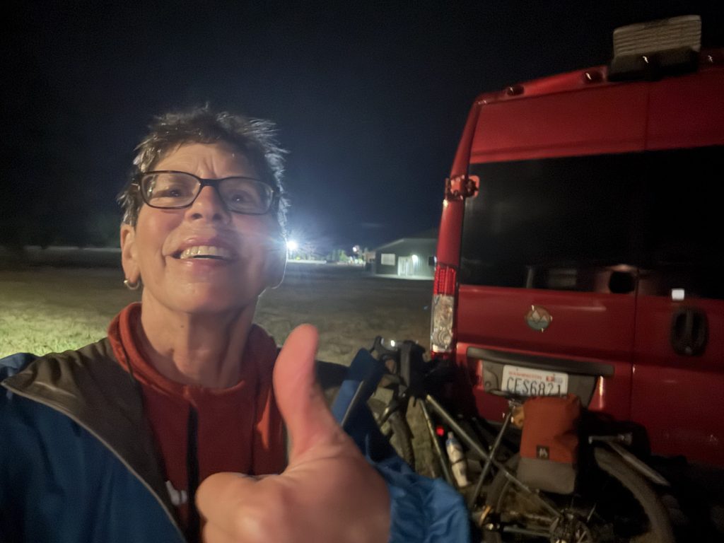
Thu, 7/2/2026 GCOR 2026 day 5- final day – hrs 14:42:16 / 102.45 mi / 8,294 ft climbed
In checking the tracker I saw that one person was still out on course and right behind me. Caitlin Peters, who is the first woman to ever attempt And finish the GCOR XL. I kept my eyes open for her headlight to appear and then went out there to cheer her in with a tin cup and spoon in place of a cowbell. We each enjoyed an NA beer and compared notes about the ride. I planned to sleep right there in Mavis that night and drive home the next morning. Went to bed at 1:30, woke up at 6 a.m. and decided I wouldn’t really fall back asleep so headed for home.
And so concludes Annie’s GCOR 2026. Absolutely a one and done. I’m so very glad to have experienced it though. I’m still searching for the answers to why I do this stuff. It’s complicated, and if anyone ever wants to talk about it and their why I’d love to have a conversation. Until next time, happy trails.


Leave a comment